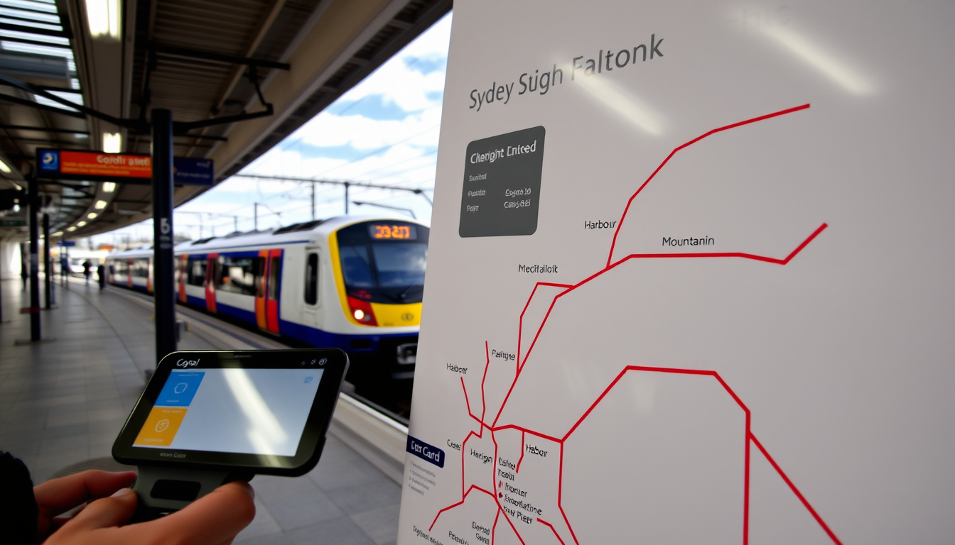
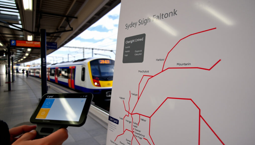
You’ve just stepped off the plane, and your first real test is figuring out how to get from the airport to your hotel without blowing your budget. Sydney’s train network, managed by Transport for NSW, is the most straightforward way to cover the city, and the official network map is your best friend.
Network length: 815 km ·
Number of stations: 170+ ·
Opal daily cap (adult): $16.80
Quick snapshot
- Get an Opal card at any station or retail outlet (City of Sydney visitor guide)
- Use contactless credit/debit card (City of Sydney)
- Plan your journey with Google Maps (Trip.com guide)
- Opal card: tap on/off (City of Sydney)
- Contactless: same fares and caps (City of Sydney)
- Sunday cap: $8.90 (Transport for NSW fares info)
- City Circle loop (Trip.com)
- Blue Mountains line (Transport for NSW train info)
- South Coast line (Transport for NSW)
- Cockatoo Island (ferry via Circular Quay, City of Sydney)
- Wendy’s Secret Garden (near Milsons Point, Transport for NSW map)
- Cremorne Point walk (from Neutral Bay, Sydney Metro culture maps)
Six key facts give you the lay of the land in one glance: the scale of the network, daily usage, and the cost structure that matters most to visitors.
| Fact | Value |
|---|---|
| Number of stations | 170+ |
| Network length | 815 km |
| Daily weekday passengers (pre-2020) | ~800,000 |
| Opal card daily cap (adult) | $16.80 |
| Concession daily cap | $8.40 |
| Sunday adult cap | $8.90 |
The implication: these numbers reveal a network built for high frequency and capped costs — ideal for visitors who plan a few trips a day.
Is there a train system in Sydney?
Overview of Sydney Trains network
- Sydney’s public transport network includes trains, light rail, buses, and ferries, all managed by Transport for NSW (City of Sydney visitor guide).
- Transport for NSW publishes an official Sydney rail network map PDF for passengers and visitors (Transport for NSW official map).
- The network covers over 170 stations and stretches across 815 km of track.
Key lines and stations for tourists
- Central Station is the main transport hub (Trip.com travel guide).
- City Circle, a loop service, serves key CBD stations: Town Hall, Wynyard, Circular Quay, and St James (Trip.com).
- The Airport Link connects international and domestic airports to the city (Trip.com).
The implication: the City Circle loop is your gateway to the Opera House, Harbour Bridge, and ferries, while the Airport Link is the fastest way to and from the terminals.
Visitors who master the City Circle and the Airport Link save time and money — two resources that vanish fast on holiday.
How to use Sydney Trains as a tourist?
Step 1: Get an Opal card or use contactless payment
- Visitors can pay for trips using a credit card, debit card, a linked device, or an Opal card (City of Sydney).
- Opal cards are available at stations and convenience stores (Transport for NSW recommends checking retail outlets).
Step 2: Plan your journey with Google Maps or transportnsw.info
- Google Maps is fully integrated with the Sydney Trains timetable and shows real-time service disruptions (Trip.com).
- The official Transport for NSW Trip Planner also provides journey planning (Transport for NSW).
Step 3: Tap on and off at stations
- When using Opal or contactless payments, tap on at the start of your trip and tap off at the end (Trip.com).
- Failing to tap off results in a default fare.
The trade-off: contactless means you don’t need to buy a separate card, but Opal offers a clear view of your spending if you prefer a physical tool.
How do tourists pay for trains in Sydney?
Opal card vs contactless debit/credit card
- Opal cards and contactless payments offer the same fares and fare caps (City of Sydney).
- Contactless cards work without any prior purchase — just tap your Visa, Mastercard, or American Express.
- Opal cards require a minimum top-up (typically $20) at a station or newsagent.
Capping and discounts for visitors
- Adult daily cap: $16.80; weekly cap: $50 (Monday–Sunday) (Transport for NSW fares).
- Sunday cap: $8.90 for unlimited travel after 8:00 AM.
- Concession holders need a concession Opal card to receive half-price fares.
The pattern: if you’re staying for a week, the weekly cap makes the network very affordable; for a short stay, contactless is simpler.
Airport stations add a Station Access Fee of around $16 per trip — that caps separately from the normal daily cap, so factor it in your budget.
Can I use Google Maps for Sydney Trains?
Integrating Google Maps with Sydney Trains
- Google Maps provides full journey planning, including train times, platform numbers, and real-time delay information (Trip.com guide).
- You can toggle between rail, bus, light rail, and ferry options in the app.
Official Transport for NSW app vs Google Maps
- The official Trip Planner (transportnsw.info) offers the same data and also includes accessibility alerts (Transport for NSW).
- Google Maps excels at walking directions to and from stations, making it a one-stop app for tourists.
What this means: you can rely on Google Maps entirely; the official app is a solid backup for service disruptions and accessibility info.
Are there any scenic train routes in Sydney?
Top scenic train routes from Sydney
- City Circle loop: harbour views from Circular Quay station and short walks to the Opera House (Trip.com).
- Blue Mountains line: passes through the Blue Mountains National Park and offers views of eucalypt forests and valleys (Transport for NSW train info).
- South Coast line: runs along the coastline past Wollongong, with ocean views from the train.
Hidden gem stations and nearby attractions
- Milsons Point station: steps from Luna Park and Wendy’s Secret Garden, a free harbour-view garden.
- Neutral Bay station (via light rail): short walk to Cremorne Point and excellent skyline views.
The pattern: the most memorable experiences often don’t require a ticket to a museum — they’re accessible by a short train ride and a walk.
What is Sydney’s best kept secret?
10 secret Sydney spots you might have all to yourself
- Cockatoo Island (ferry from Circular Quay) — a UNESCO World Heritage site with industrial history.
- Wendy’s Secret Garden — a quiet, beautiful garden near Milsons Point station with uninterrupted harbour views.
- Cremorne Point walk — a 3.5 km loop with harbour panoramas, starting from Neutral Bay ferry wharf.
- Paddington Reservoir Gardens — a sunken garden park near the city, accessible by bus from Central.
How to reach them by train
- Circular Quay station (City Circle) puts you at the ferry hub for Cockatoo Island.
- Milsons Point station (North Shore line) is a 5-minute walk from Wendy’s Secret Garden.
- Neutral Bay is served by the B-Line bus from Wynyard station (train to Wynyard, then bus).
The trade-off: the best secrets require a little extra effort — a ferry ride or a bus connection — but the payoff is uncrowded, memorable experiences.
Upsides
- Opal daily cap limits spending to $16.80.
- Google Maps integration makes navigation easy.
- Scenic routes offer value without extra cost.
- Contactless payment eliminates need for a card.
Downsides
- Airport Station Access Fee adds ~$16 per trip.
- Sunday cap only applies after 8:00 AM.
- Some hidden spots require additional ferry or bus.
- No single tourist-friendly interactive map exists.
What we know and what’s still unclear
Confirmed facts
- Opal cards can be purchased at stations and convenience stores.
- Contactless payments are accepted on all Sydney Trains services.
- Fares are capped daily, weekly, and on Sundays.
What’s unclear
- Future fare changes beyond 2025.
- Exact opening dates of planned 2026 map updates.
“Sydney’s public transport network includes trains, light rail, buses, and ferries. Visitors can pay for trips using a credit card, debit card, a linked device, or an Opal card.”
— City of Sydney visitor guide (City of Sydney)
“Transport for NSW publishes train network maps for routes and train lines in Sydney and across NSW.”
— Transport for NSW (Transport for NSW train information page)
For tourists, the choice is clear: use a contactless card, plan with Google Maps, and make the most of the Sunday cap. The network is reliable, affordable, and surprisingly scenic once you know where to look. Whether you’re heading to the Blue Mountains or a hidden garden in Milsons Point, the train is your ticket to exploring Sydney without the hassle of city traffic.
locltour.com, play.google.com, railsnw.com, transportnsw.info
For tourists planning their trip, a thorough understanding of the train network pairs well with a Map of Sydney suburbs, which highlights key beaches and city landmarks.
Frequently asked questions
How much does a single train ride cost in Sydney?
A single adult journey within the city typically costs around $4.50 during peak hours, but the daily cap of $16.80 makes multiple trips very affordable. Fares are distance-based; see Transport for NSW fares for exact pricing.
Can I use my credit card directly on the train?
Yes, any contactless Visa, Mastercard, or American Express works at the Opal card readers at every station. You tap on and off just like an Opal card.
What is the best time to travel to avoid crowds?
Off-peak times are between 10:00 AM and 3:00 PM on weekdays, and all day on weekends. Avoid 7:00–9:00 AM and 4:30–7:00 PM on weekdays.
Are trains in Sydney accessible for wheelchair users?
Yes, all stations have accessible paths, ramps, or lifts. Transport for NSW provides an accessibility map and assistance service. Call 1800 637 500 for help.
Can I bring luggage on Sydney Trains?
Yes, luggage is allowed as long as it does not block aisles or doors. Luggage racks are available on most trains.
How do I get to Bondi Beach from the city using trains?
Take a train from Central or Town Hall to Bondi Junction station (T4 Eastern Suburbs line), then catch bus 333 or walk 30 minutes downhill to the beach.
Is there a direct train from Sydney Airport to the city?
Yes, the Airport Link (T8 line) runs directly from both International and Domestic terminals to Central Station in about 10 minutes. Note the Station Access Fee applies.
Ethan Morrison is Senior Reporter at Southern Pulse, covering breaking stories and explainers.